Christophe Guillot
Premium Member
Christophe Guillot
Premium Member
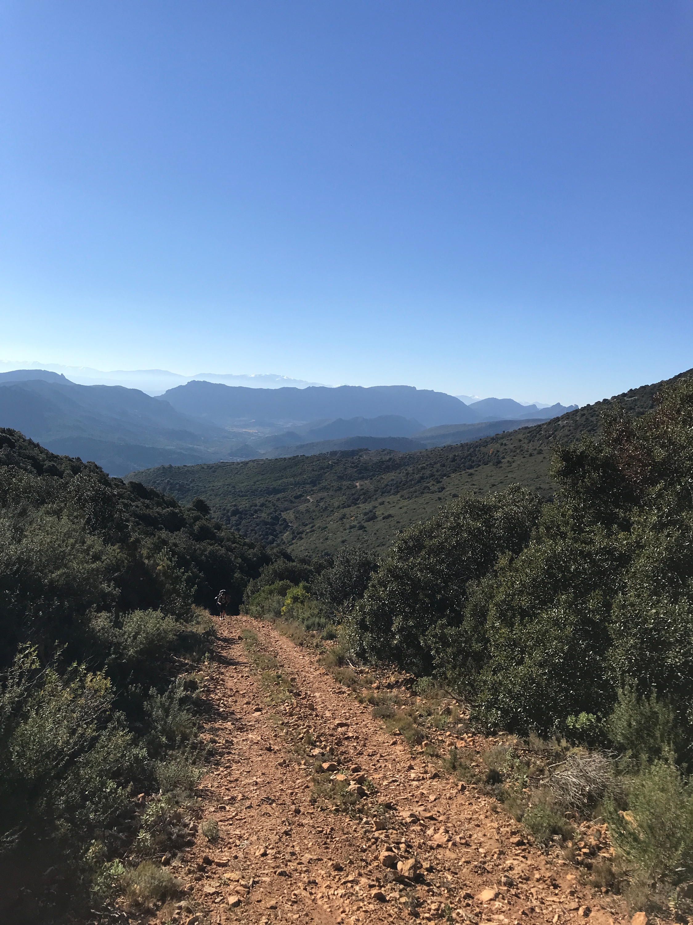
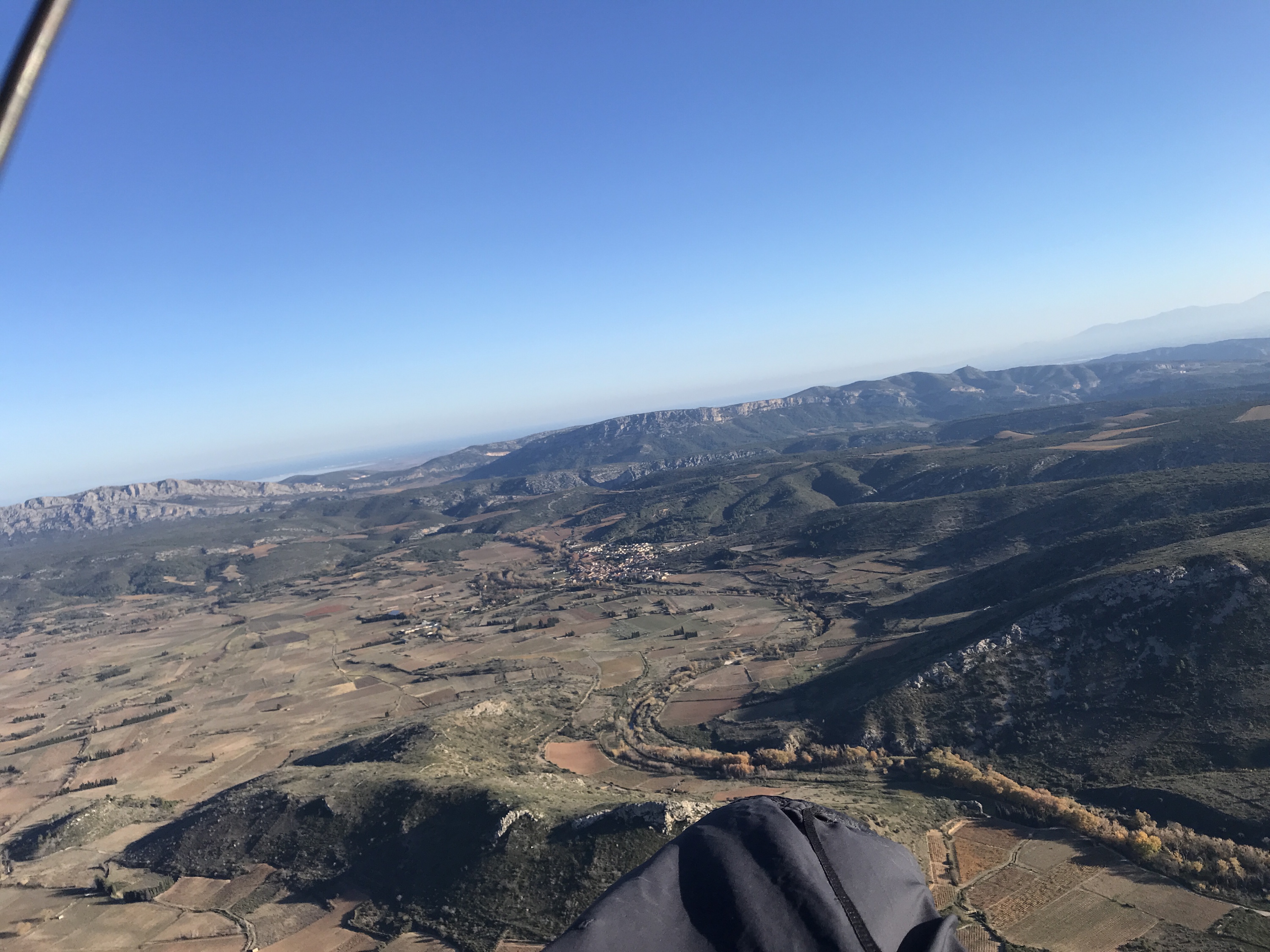
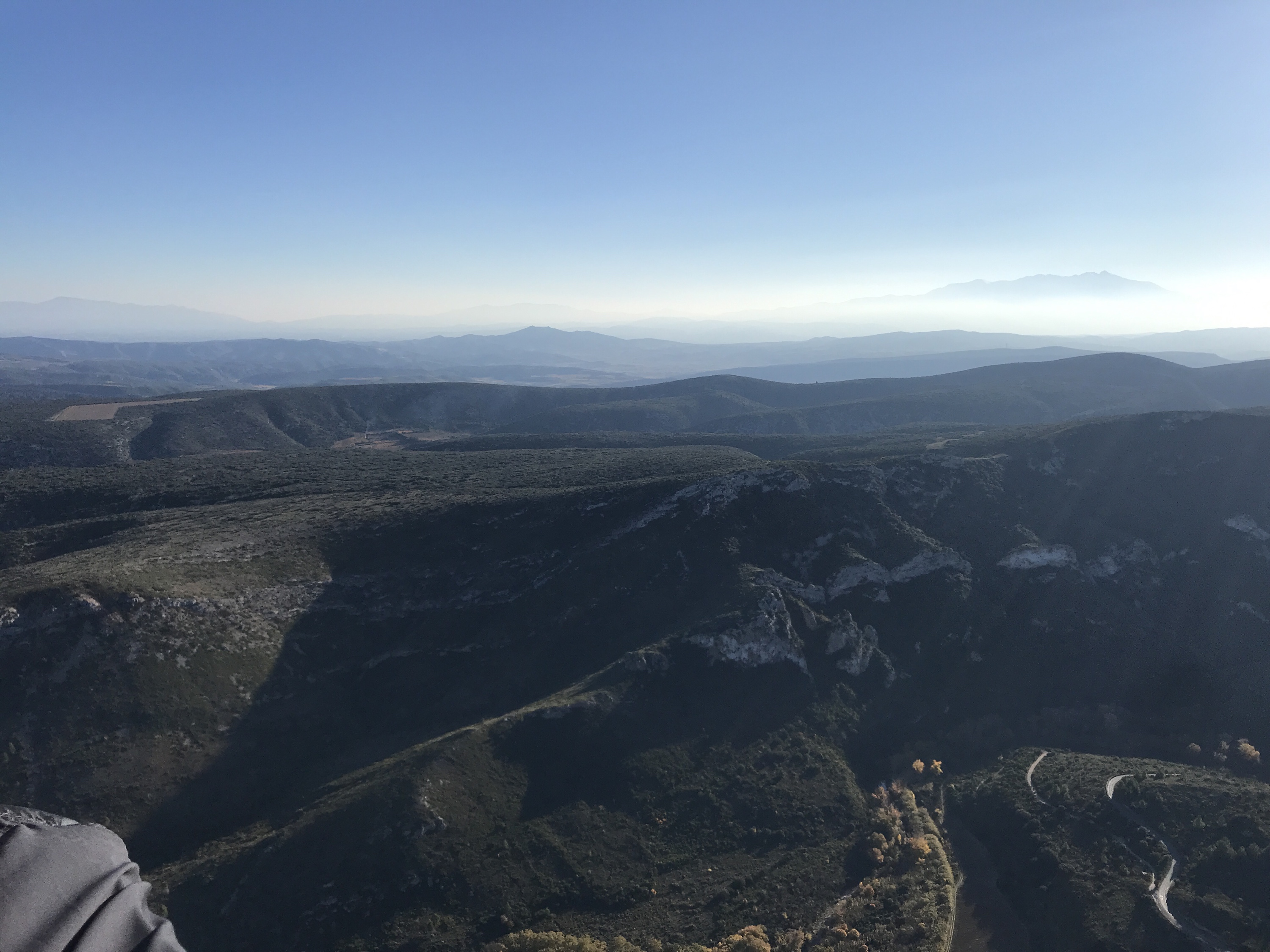
Hike & Fly
Padern, Occitania ,
19 Nov 2021
Key Statistics
 17.07
km/h
17.07
km/h
Avg Speed
 5.5
km
5.5
km
ø 5.8
km/h
△ FAI Distance Triangle
 1.66
pts
1.66
pts
△ FAI Score Triangle
 8.7
pts
8.7
pts
▽ XC Triangle
 6.1
km
6.1
km
◬ Triangle
 7.7
km
7.7
km
ø 8.5
km/h
⟷ Free Distance
 3.2
km
3.2
km
ø 3.5
km/h
⤞ Open Distance
 38.12
km
38.12
km
GPS Tracklog length
 727
m
727
m
Max Altitude
 0.7
m/s
0.7
m/s
Max Climb
 54.99
km/h
54.99
km/h
Max Speed
 195
m
195
m
Min Altitude
 1,151
m
1,151
m
Altitude gain
 00h16m
Time Spent Circling
 01h12m
Transition Time
 109
°
109
°
Average Wind Bearing
 12.3
km/h
12.3
km/h
Average Wind Speed
Support great statistics provider
We have something to ask you. It is all thanks to you we are still able to improve SportsTrackLive. Our development and calculation costs are increasing, and we need funds to provide all of this data. SportsTrackLive is an independent tool. We are spending all our energy to bring together as many athletes as possible by providing reliable and free tools.
So you can understand why we are asking for your support.